North-Eastern Atlantic, Mediterranean and connected seas
Tsunami Information Centre


Neamtic Home Slider
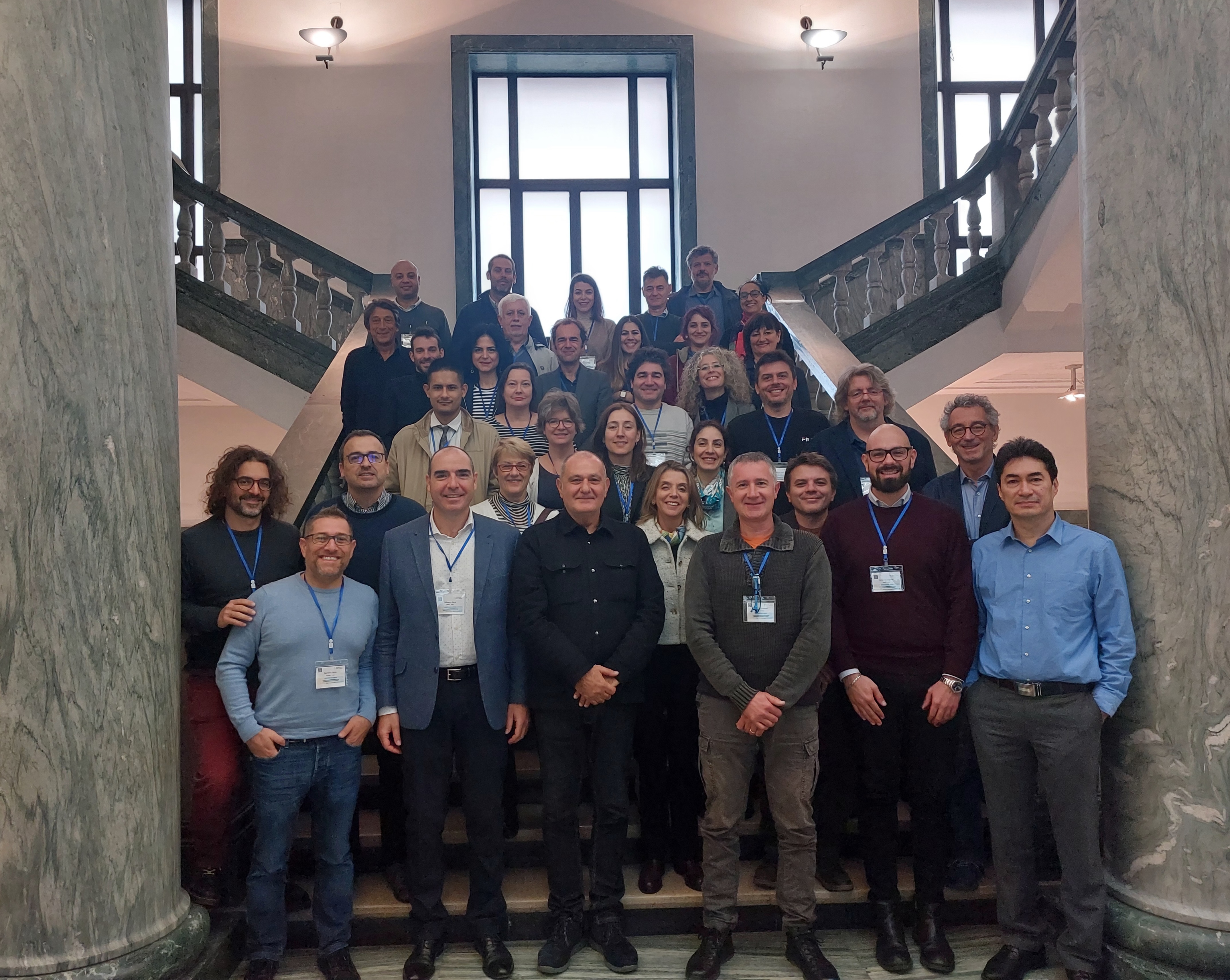
ICG/NEAMTWS Expert Meeting Group Picture, 28-30 November 2022, Naples, Italy.
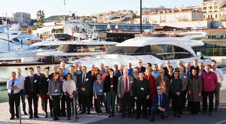
ICG/NEAMTWS XVI Session, 2-4 December 2019, Cannes, France.
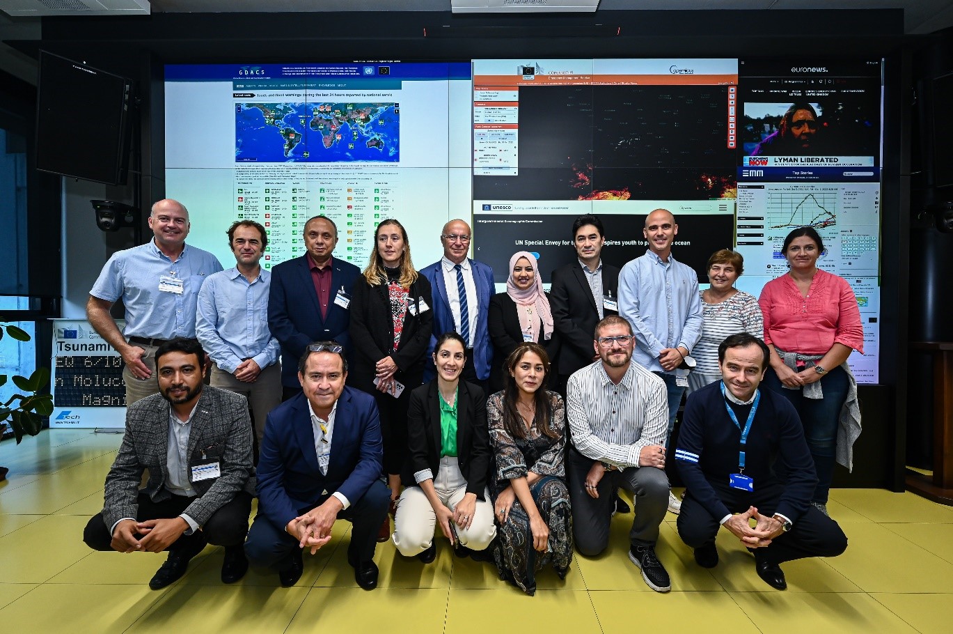
CoastWAVE project workshop on Standard Operating Procedures (SOPs) in the North-eastern Atlantic, Mediterranean and the connected seas (NEAM) region. Credit: Piero Cruciaiti.
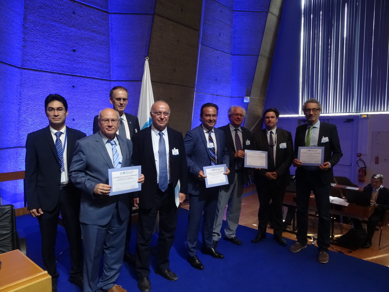
Four Tsunami Service Providers received Certificate of Accreditation at the 29th Session of the Intergovernmental Oceanographic Commission (IOC) Assembly, 27 June 2017
Recent News


Upcoming Events

Other events of IOC Tsunami unit can be found at IOC Tsunami Calendar.
Featured Resources


Earthquakes Update
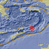
Through the following website, you can find updated earthquake information :
Centro Nazionale Terremoti, Istituto Nazionale di Geofisica e Vulcanologia
NEAMTIC Resources
![]()
This website was developed with the support of the European Commission Directorate General for Humanitarian Aid and Civil Protection.
Developed by Mediatools
The translations provided are automated by Google Translate and therefore may not be accurate. NEAMTIC will not be responsible for the discrepancies of the translated version of the website.